8 hr
Tongariro Alpine Crossing Roundtrip Shuttle
Hassle-free shuttle to New Zealand's #1 rated one-day hike, with flexible pickup and return times.
Reserve
Dark road to Mangatepopo, red crater by noon.
Hand-picked by our editors — only the best 7 transfers from 46 reviewed.
Verified partners for Tongariro Alpine Crossing Shuttle tours, free cancellation where available, and instant confirmation on every booking.
8 hr
Hassle-free shuttle to New Zealand's #1 rated one-day hike, with flexible pickup and return times.
Reserve
8 hr
One-way shuttle to Mangatepōpō, then hike back to your own car at Ketetahi. No return schedules.
Reserve
One-way shuttle to Mangatepōpō, park free at Ketetahi, hike back to your own car.
ReservePrices from verified partners. Availability updates in real time at checkout. Free cancellation policies apply where shown.
The landmarks, rooms, and views travelers on Tongariro Alpine Crossing Shuttle tours remember — all visible on a single visit.
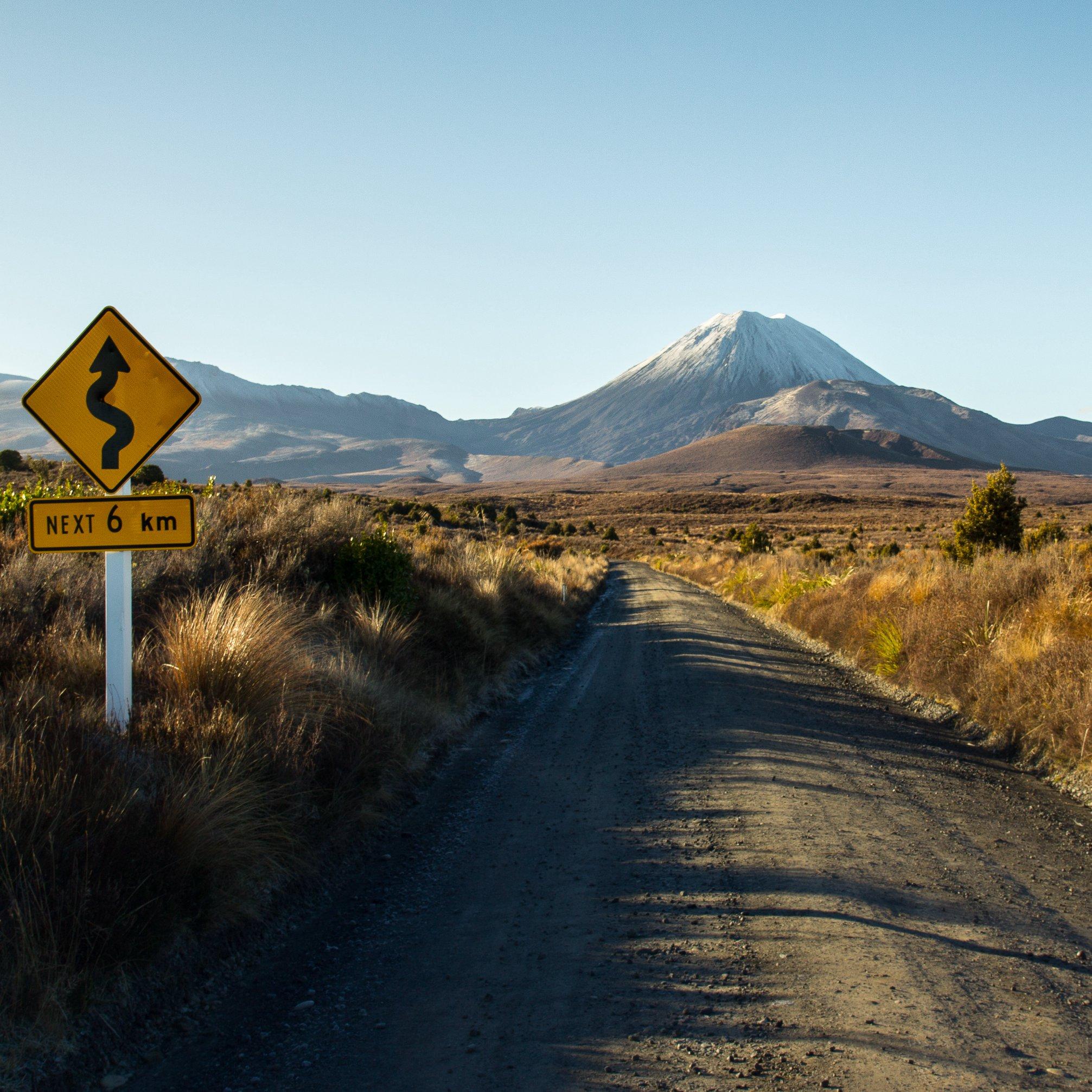
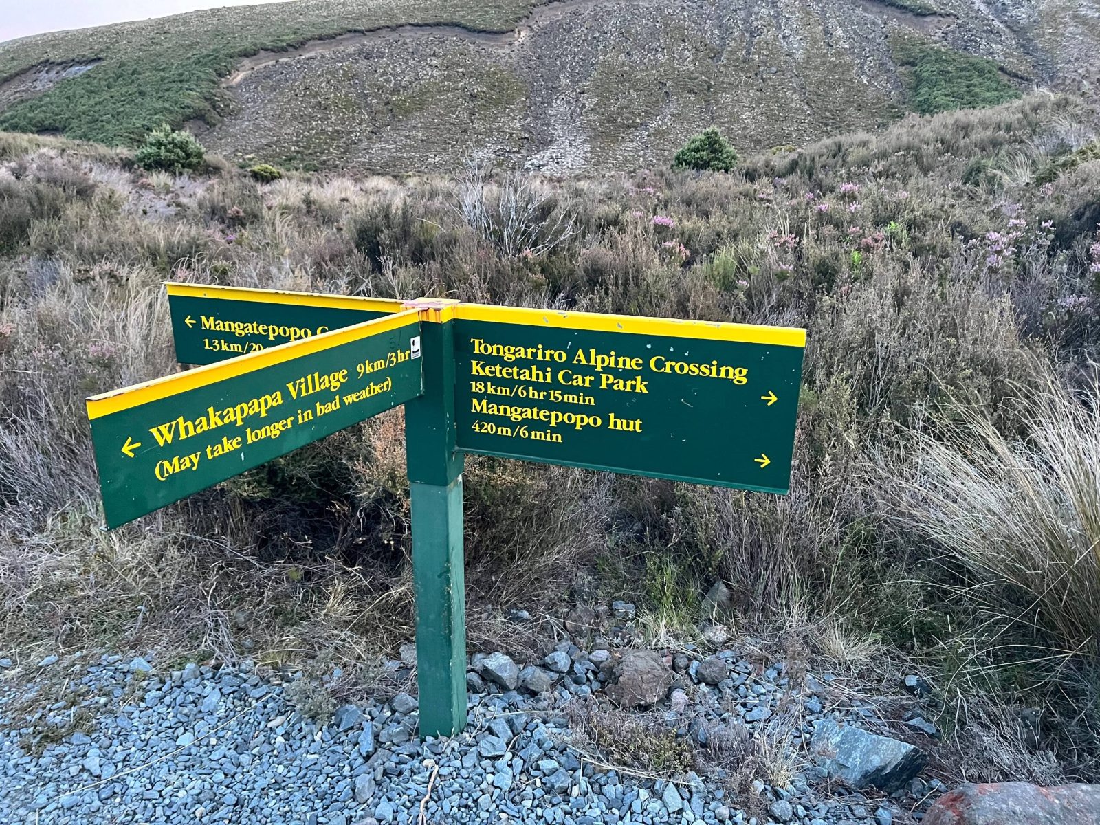
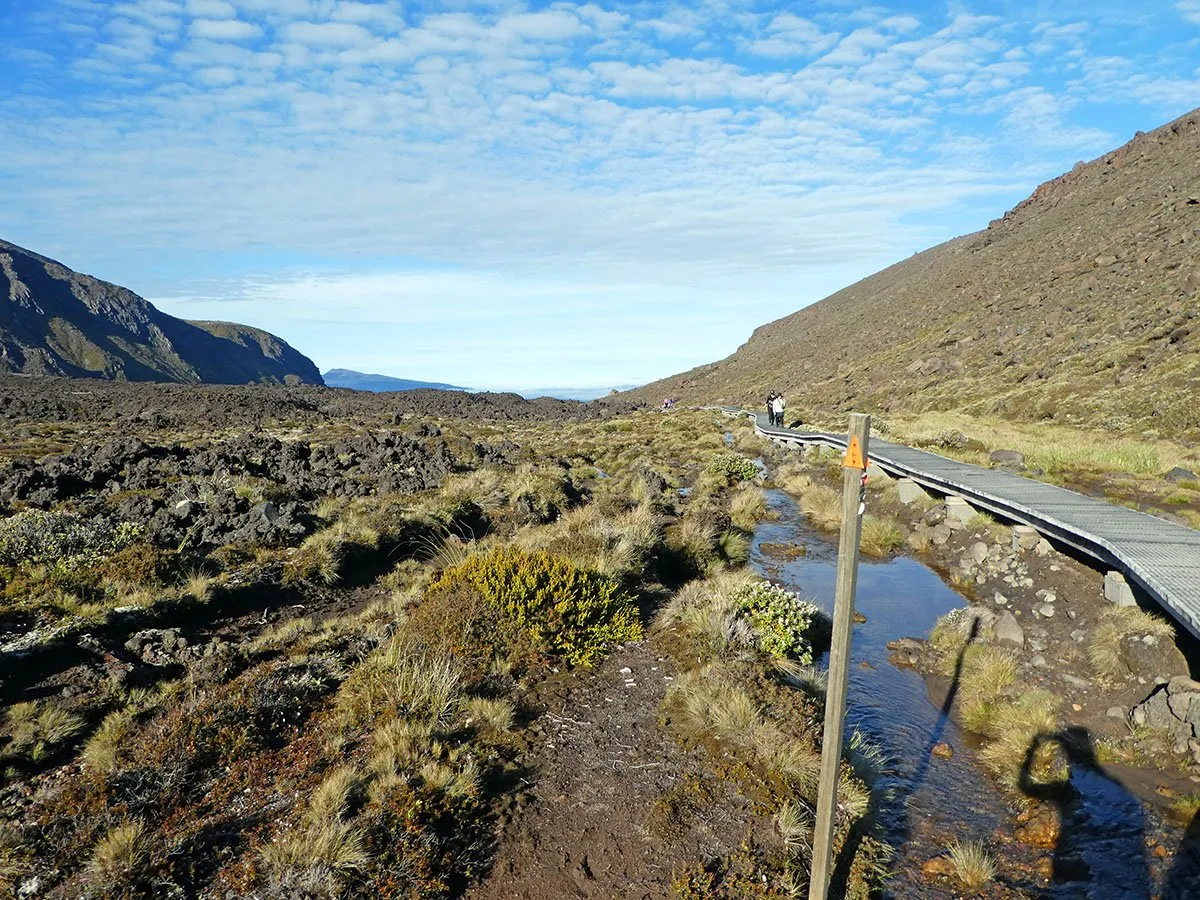
The Mangatepopo start sits on the western side of the route and is the usual launch point for the one-way crossing. DOC identifies it as the recommended direction’s beginning, and the access road sits about 13.4 km from Whakapapa.
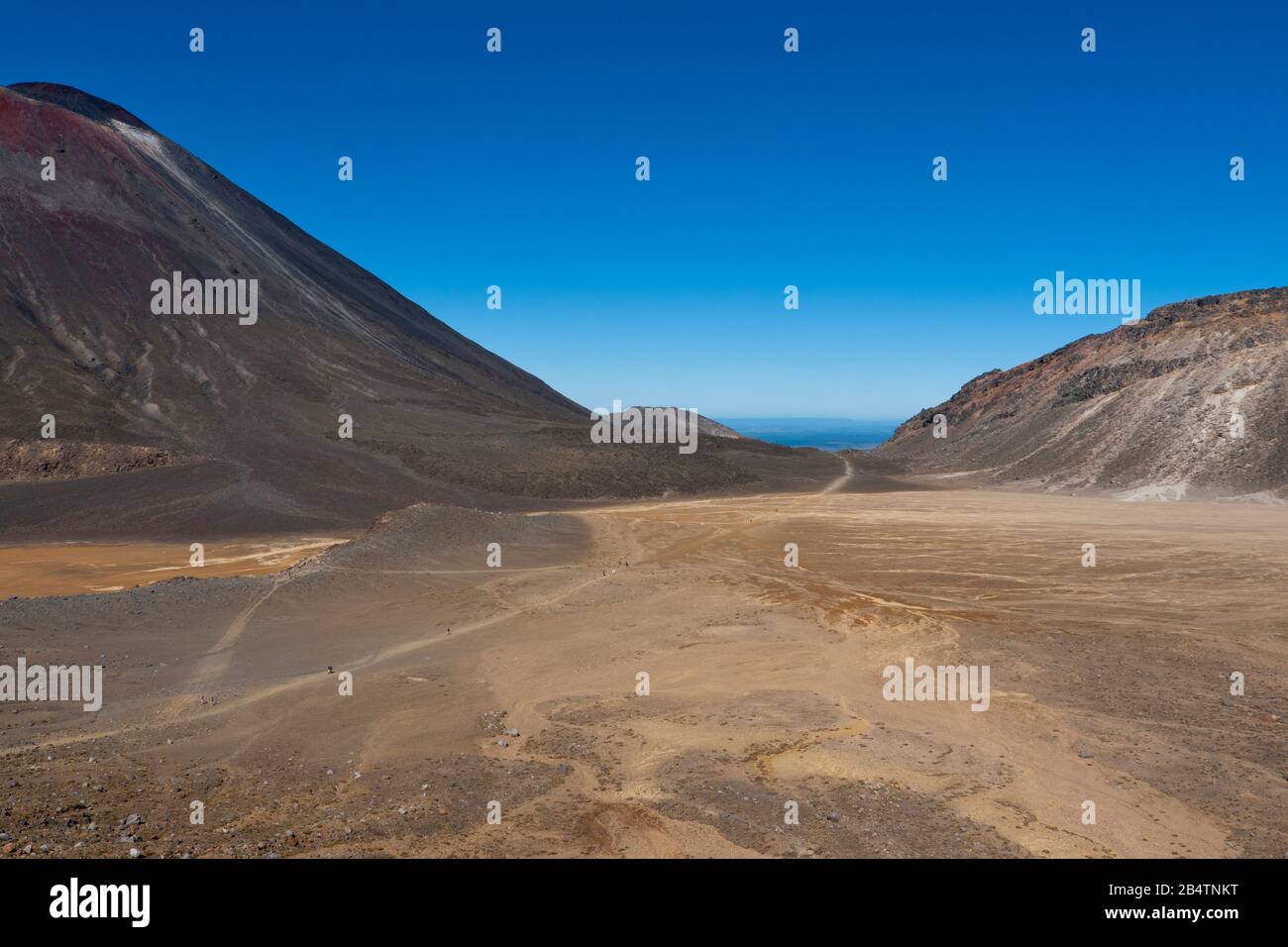
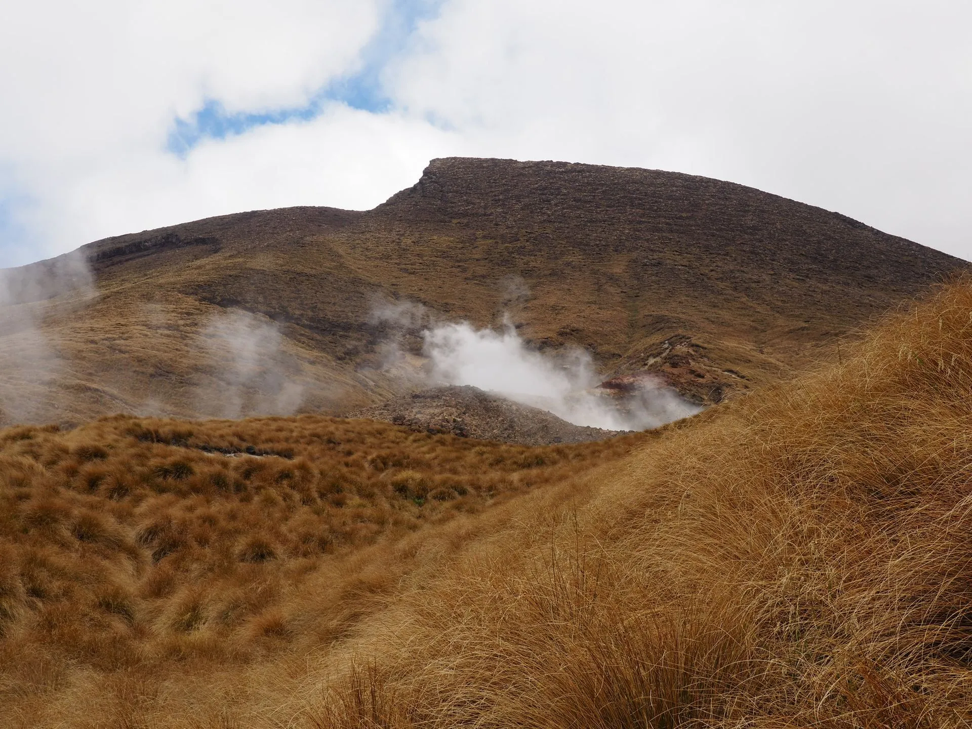
This broad basin appears after the early climb and offers a flatter volcanic landscape before the final ascent. It is one of the best places to read the route’s geology because the terrain opens out around the crater floor.
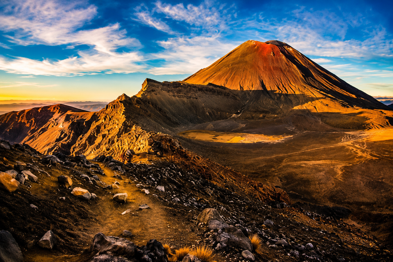
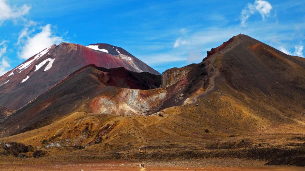
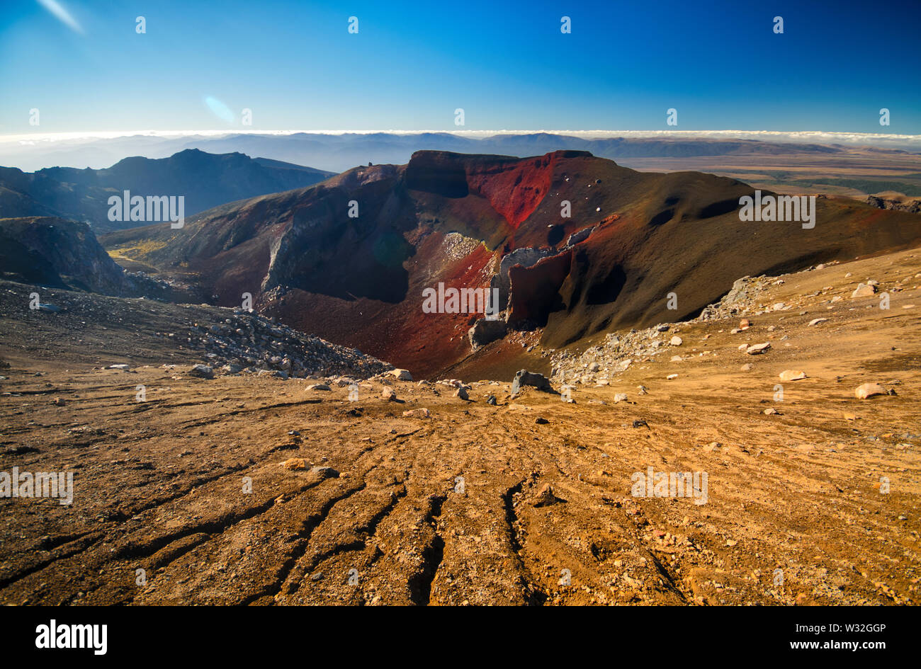
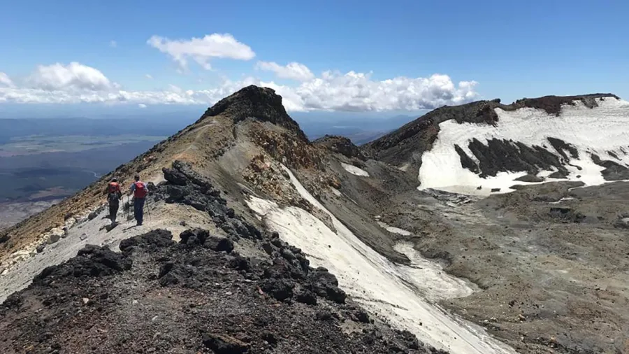
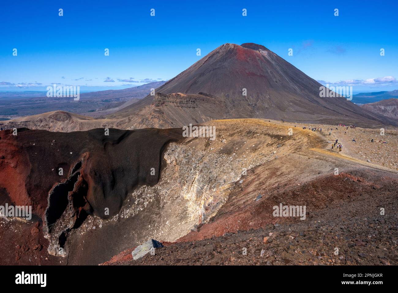
Red Crater is the highest point on the crossing at 1,886 m, and the climb to it is one of the route’s hardest sections. The red scoria and exposed ridge make it the most dramatic high point on the day walk.
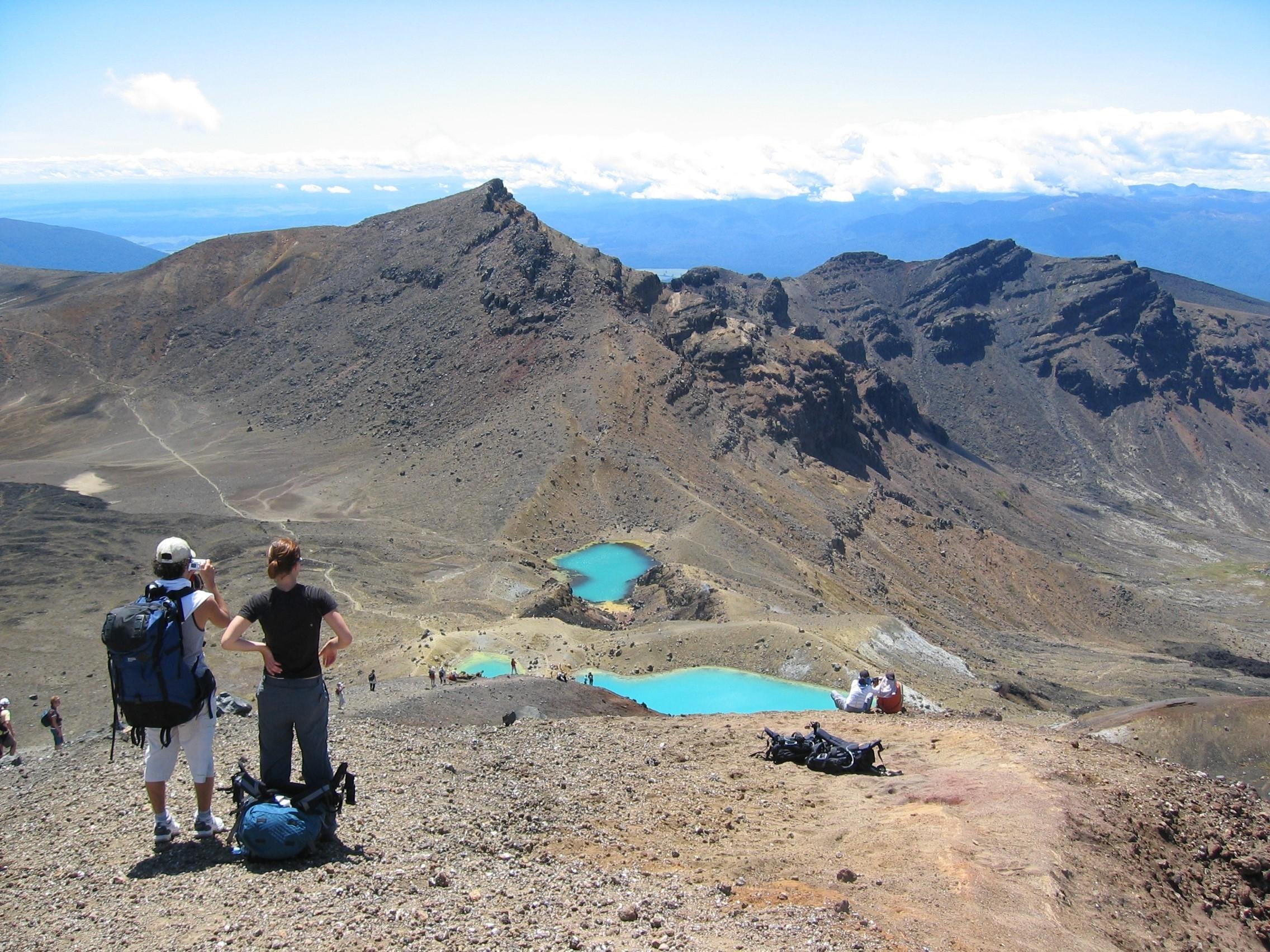
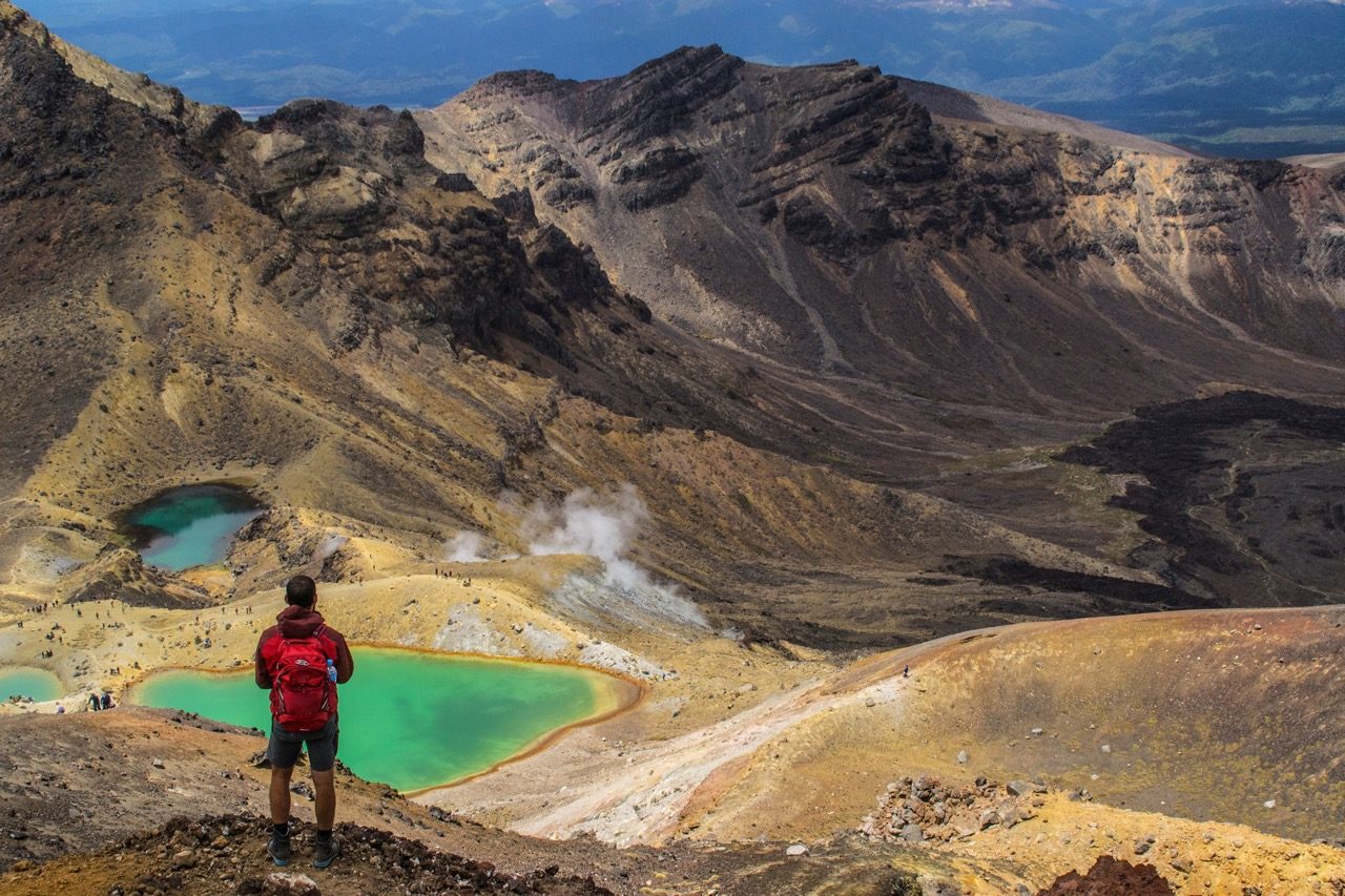
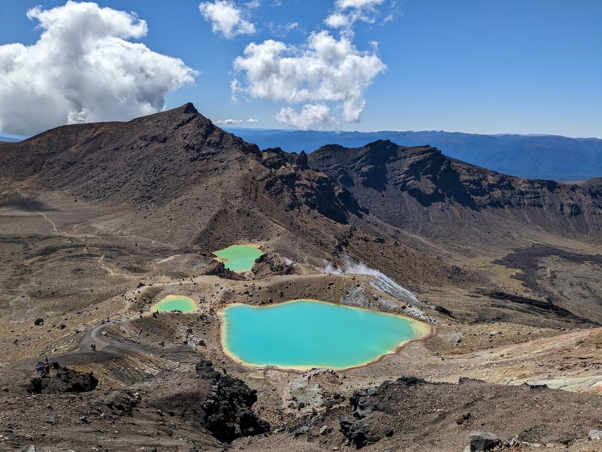
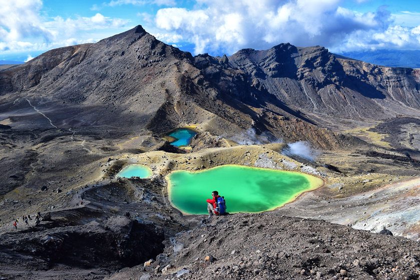
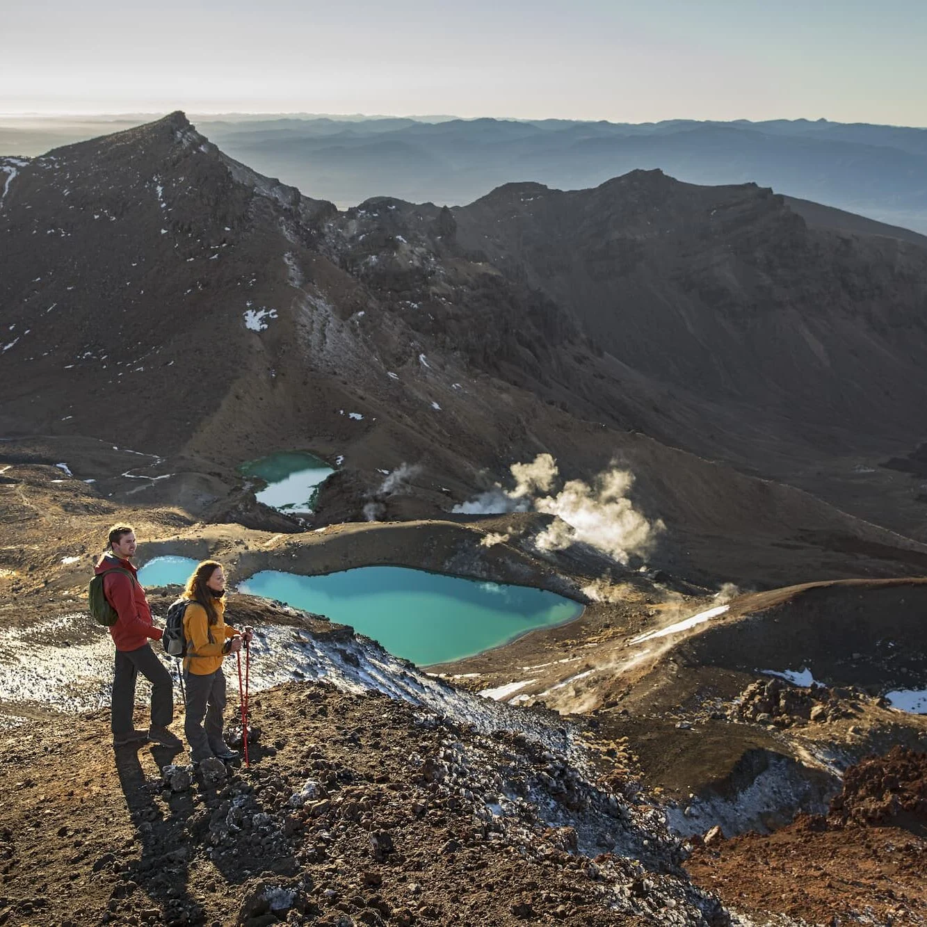
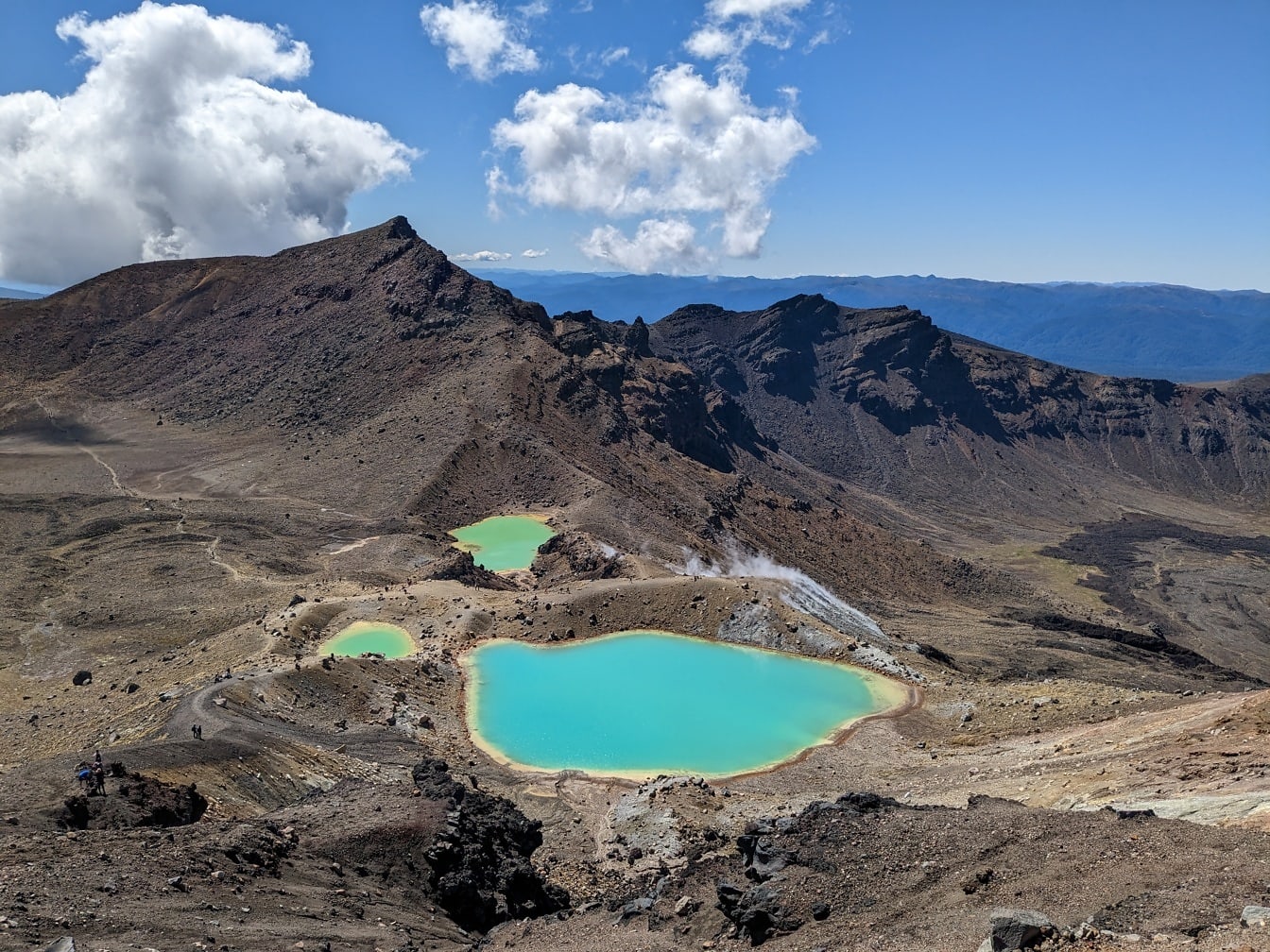
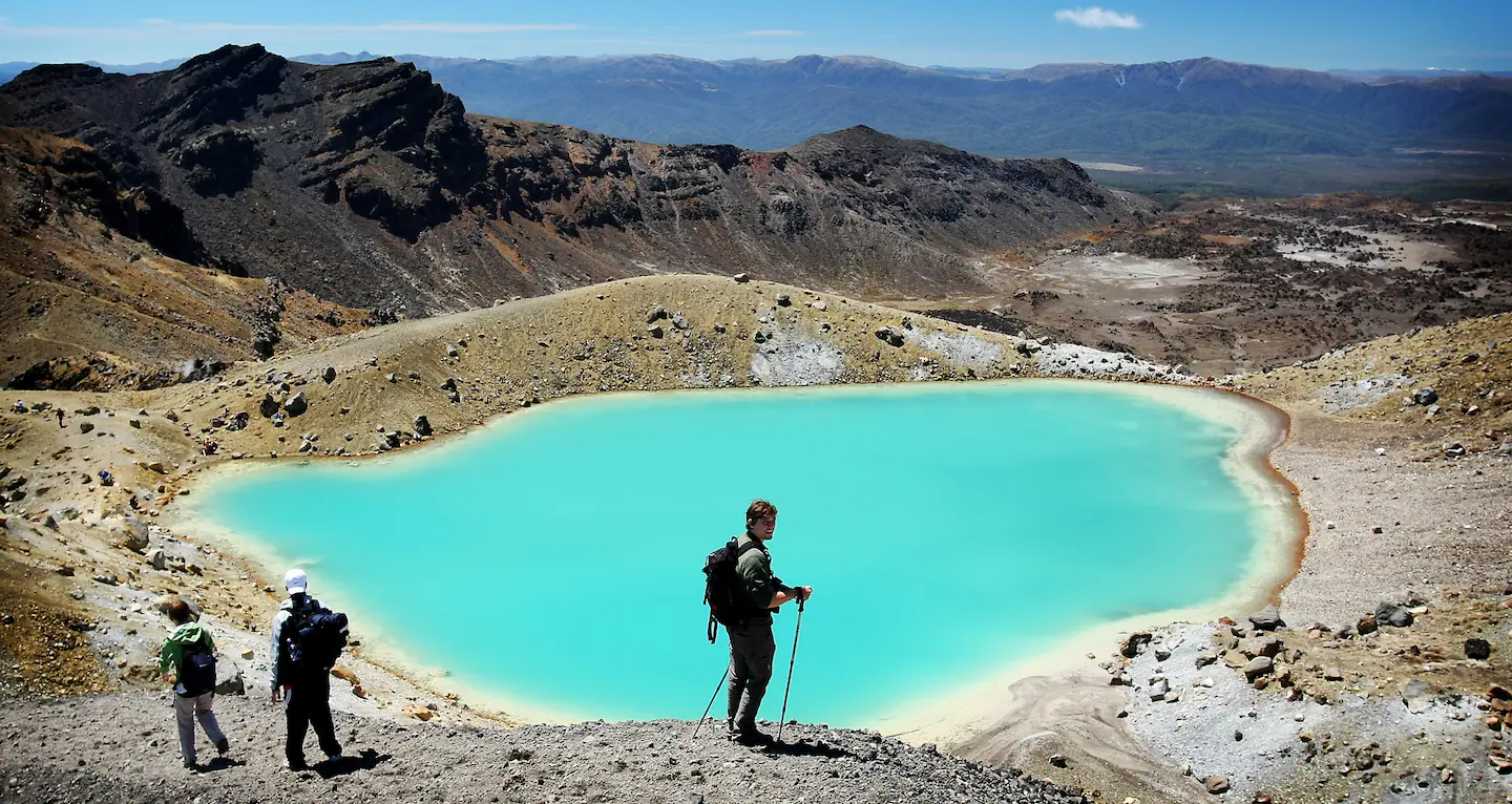
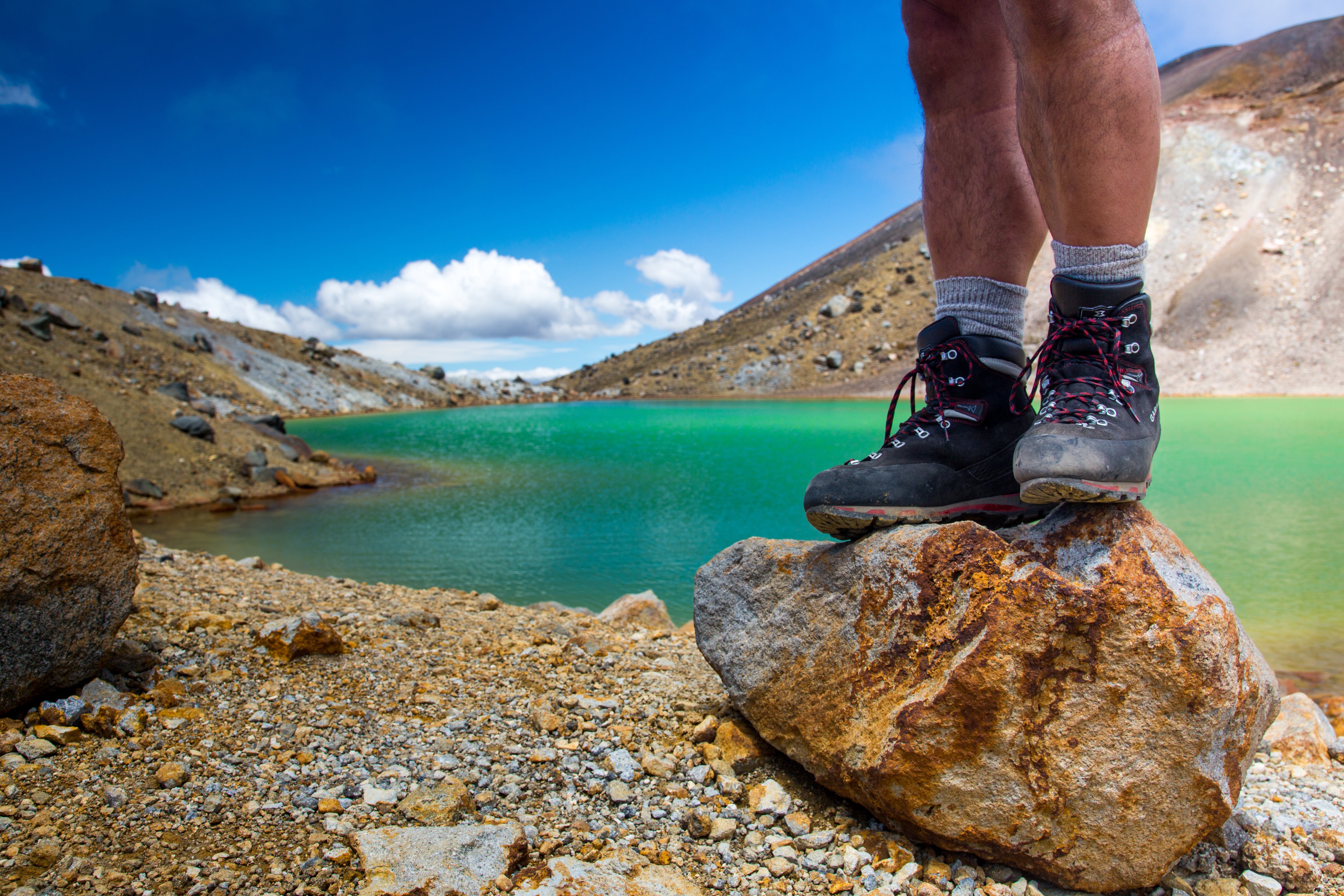
The Emerald Lakes are a series of crater lakes with bright mineral colours that stand out against the dark volcanic slopes. The area is culturally significant, so the key detail is not just the colour but the need to keep clear of the water’s edge.
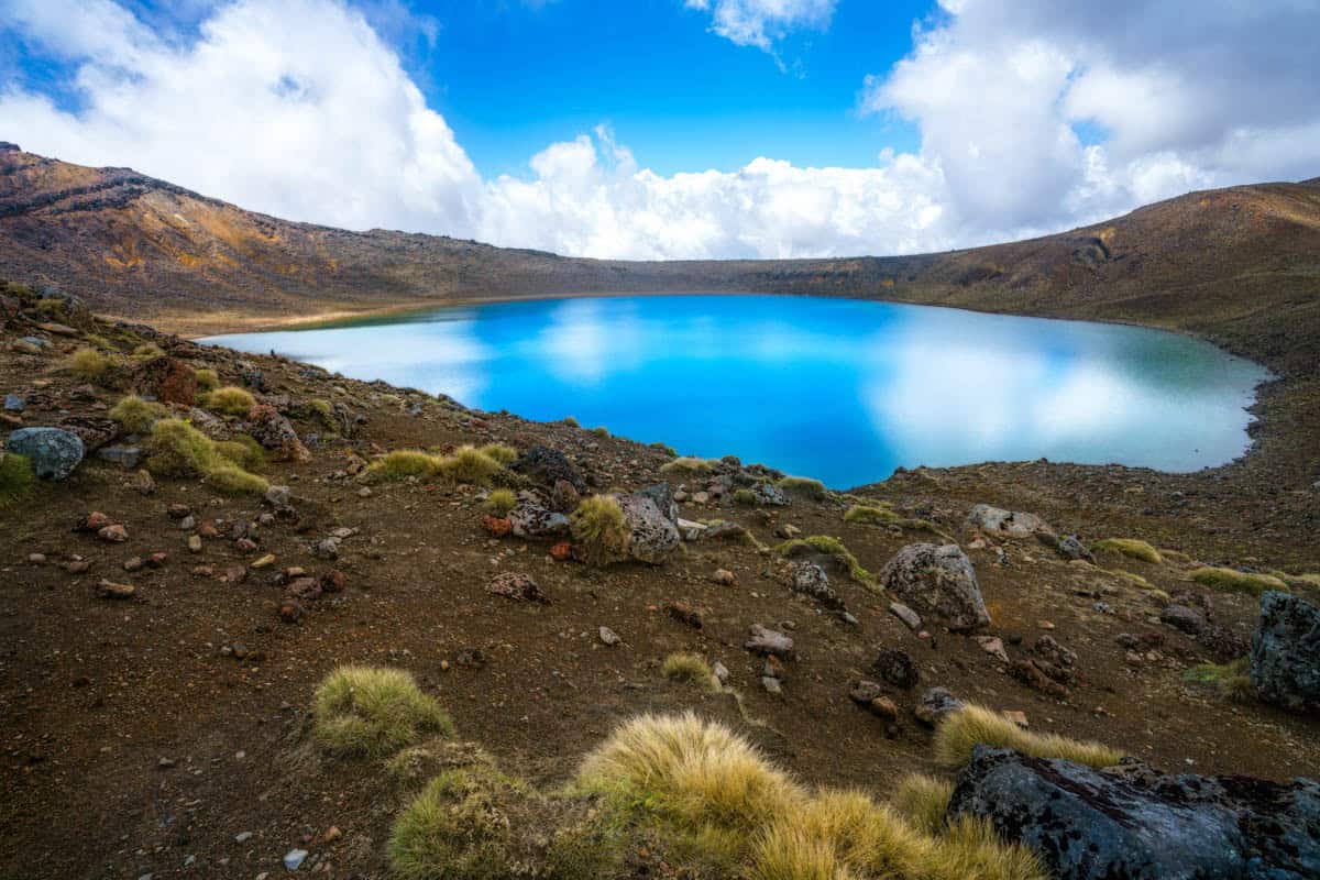
Blue Lake sits below the ridgeline and is one of the most recognisable water features on the crossing. It is a quiet visual reset after the harsher volcanic sections, with a distinct change in colour and atmosphere.
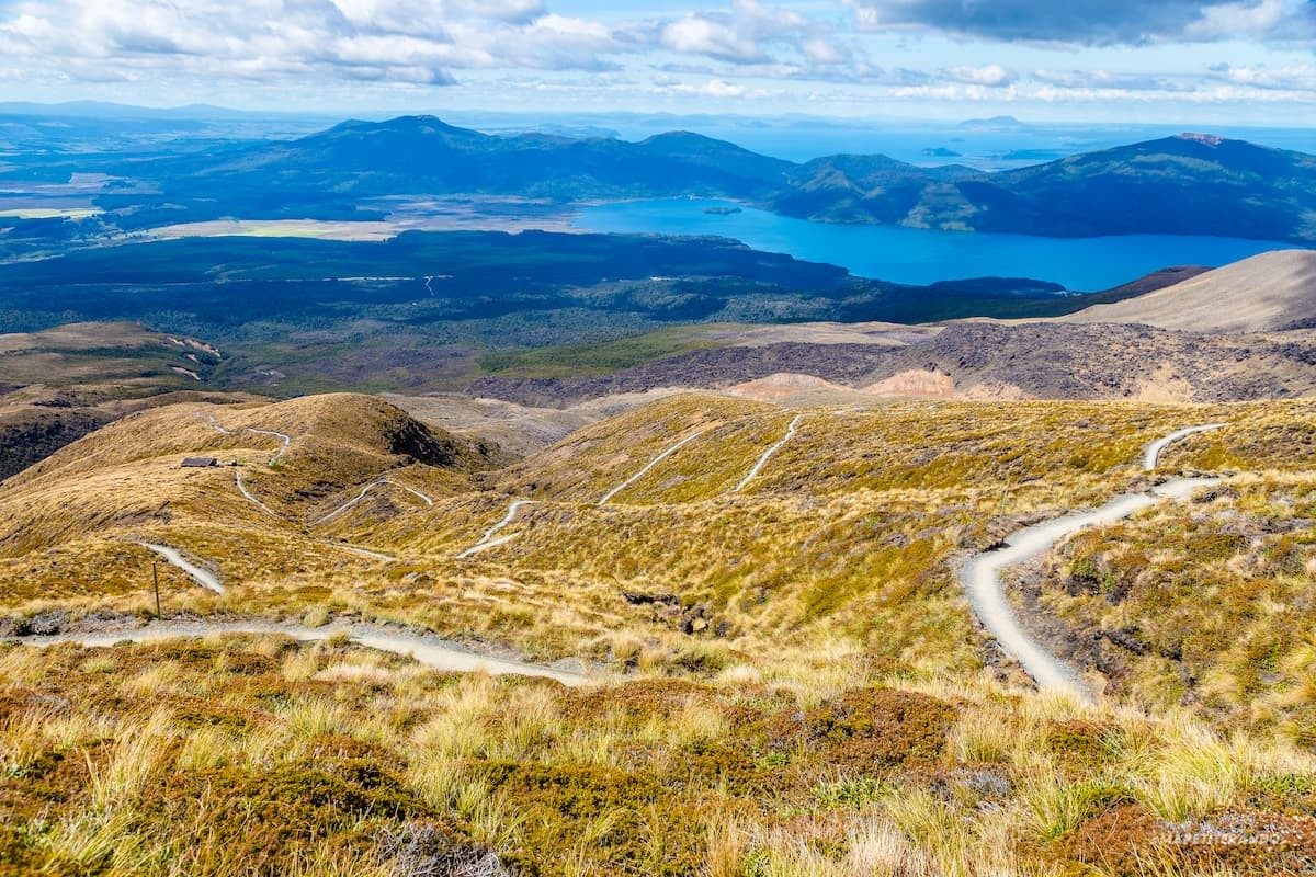
The eastern descent is long and steady, dropping through changing alpine and bush zones toward the finish. It is less photogenic than the crater section, but it is where the track’s full elevation gain and loss really become obvious.
Every Tongariro Alpine Crossing Shuttle tour side-by-side — duration, what's included, how you redeem.
| Experience | Duration | Rating | Skip-the-line | Guide | Small group | Free cancel. | Price | |
|---|---|---|---|---|---|---|---|---|
|
Guided Experience Most popular
Tongariro Alpine Crossing Roundtrip Shuttle
|
8 hr | ★ 4.7 | ✓ | ✓ | ✓ | ✓ | €36 | Book → |
|
Guided Experience
Tongariro Alpine Crossing – Ketetahi Park & Ride Shuttle
|
8 hr | ★ 4.8 | ✓ | ✓ | ✓ | ✓ | €36 | Book → |
|
Standard Entry
Tongariro Alpine Crossing Park & Ride Shuttle
|
— | ★ 4.7 | — | — | — | — | €38 | Book → |
All prices from verified partners. Availability and exact terms confirmed at checkout.
For most hikers, the tongariro alpine crossing shuttle choice comes down to control versus convenience: the Ketetahi car park package is simpler if you have a car, while a return shuttle suits walkers staying in town and not driving. Most visitors who compare both end up preferring Ketetahi for the cleaner end-of-day handoff, but town shuttles are better when you want a fully hands-off day.
| Feature | Top pick Ketetahi car park | Return shuttle from town |
|---|---|---|
What you book |
Car park plus one-way shuttle | Round-trip shuttle seat |
How you start the day |
Park at Ketetahi, ride to Mangatepopo | Board in town, ride to trailhead |
How you get back |
Walk to your parked car | Return bus from finish area |
Waiting time |
No return pickup wait | Fixed pickup windows |
Flexibility |
Higher once parked | Lower; fixed schedule |
Best for |
Drivers wanting control | Non-drivers staying nearby |
| See tickets → |
Verdict: If you’re driving, the Ketetahi car park package is the more flexible choice, while the return shuttle is better for travelers who want transport handled entirely from their accommodation and don’t mind a fixed timetable.
Choose your ticket, select your date, and reserve in under two minutes. Secure checkout handled by our verified partner.
Instant confirmation by email, with a mobile voucher you can save offline. No printing, no queuing at a collection desk.
Arrive at the entrance, show your voucher on your phone, and walk in. Most tickets include priority or skip-the-line access.
Practical details for Tongariro Alpine Crossing Shuttle tickets straight from our verified partners — hours, access, rules, and how to get there.
1310 Lake Rotoaira Road, State Highway 46, Otukou, Turangi 3382, New Zealand
Primary contact and shuttle hub area
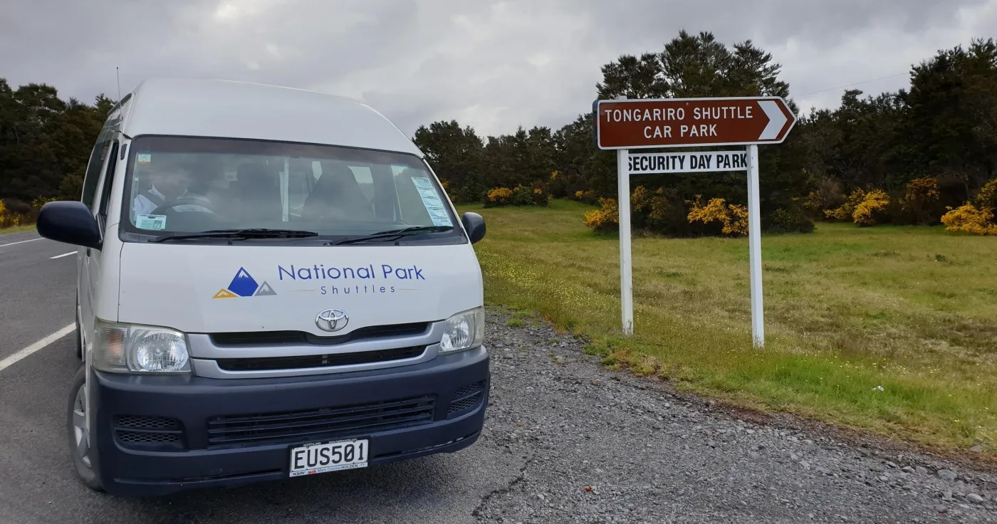
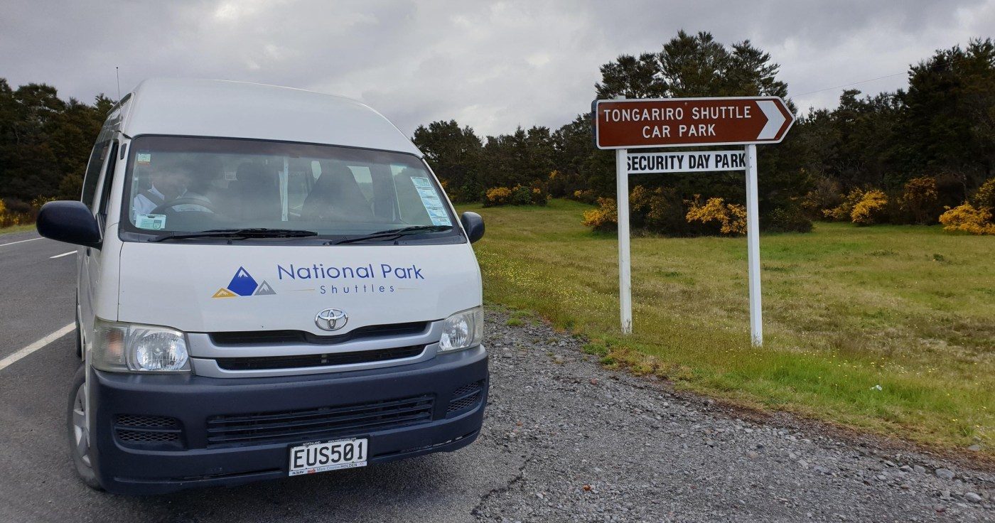
Open in Google MapsDOC says shuttle services run from local towns including Tūrangi, Taupō, Ohakune, Taumarunui, and Whakapapa Village. Booking through local i-SITEs or shuttle operators is the standard way to reach the one-way track.
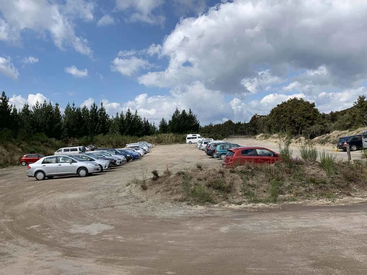
Drive to a shuttle pickup, private car park, or accommodation-based transfer rather than trying to leave a car at both ends. DOC discourages roadside parking and notes that summer parking at Mangatepopo is not available for crossing visitors.
A taxi can work for short hops from Tūrangi, National Park Village, or nearby accommodation, but it is usually less practical than a dedicated shuttle for the start-and-finish mismatch. Confirm return collection times in advance.
Cycling is not a normal access method for the crossing itself, and the park does not permit off-road vehicle alternatives in the national park. Use a shuttle or approved transfer instead.
Dress for alpine conditions: warm, windproof layers, a waterproof shell, and broken-in hiking footwear are the baseline for the Tongariro Alpine Crossing. Summer can still be cold, windy, and wet above the bush line, so avoid cotton and bring extra insulation.
Use a small daypack that can hold water, food, spare layers, a first-aid kit, and rain protection. DOC advises visitors not to park on roadside shoulders, and private shuttle/car park operators commonly use secure parking and controlled transfers for the one-way route.
Photography is allowed on the track, and the volcanic terrain gives you clear views of Mount Ngauruhoe, South Crater, Red Crater, and the Emerald Lakes. Drones are prohibited in Tongariro National Park unless specifically authorised, so keep to handheld photography and leave the drone behind.
The Tongariro Alpine Crossing is a difficult alpine day walk with steep ascents, loose scoria, and long descents, so it is not suitable for wheelchairs or most mobility-limited visitors. DOC describes the route as a challenging one-way walk with substantial elevation gain and changeable weather.
Mobile phones are permitted. Keep ringer off inside exhibition spaces.
Families can do the Tongariro Alpine Crossing if children are fit, keen, and prepared for a long day on rough terrain. Booking is required for children too, and younger walkers often struggle with the distance, altitude, and exposed sections.
Bring enough water and food for the full crossing because there are no convenient resupply points on the alpine route. Pack high-energy snacks and a lunch you can eat quickly in cold or windy conditions; do not rely on buying food at the trailhead.
Pets are not allowed, with the exception of service animals with appropriate documentation.
Bookings are recommended for all visitors using any part of the Tongariro Alpine Crossing, and shuttle transport is the most practical way to complete the one-way route. If you are using a shuttle, check weather and operating status before you set out, because DOC safety decisions can affect transport on the day.
1310 Lake Rotoaira Road, State Highway 46, Otukou, Turangi 3382, New Zealand
Primary contact and shuttle hub area
Get directions
Mangatepopo Road end, Tongariro National Park
Common start point for the one-way route
Get directionsBest time to go, insider tips, nearby landmarks, and the cancellation fine print — flip through to skim what matters to you.
How crowds, weather, and events shift across the year.
Spring brings changeable alpine weather, fewer than midsummer crowds, and a higher chance of cool starts with clear views later in the day. It is a good shoulder season for the Tongariro Alpine Crossing shuttle if you are comfortable packing for wind and rain.
Summer is the busiest period, and DOC notes that parking at Mangatepopo is not available for crossing visitors, so shuttles become the main access method. Start early to avoid the strongest sun and the heaviest trail traffic.
Autumn often gives stable weather windows and crisp visibility across the volcanic plateau. Crowds ease after peak summer, but mornings can be cold enough for gloves and an extra layer.
Winter conditions can bring snow, ice, and severe wind, so only well-prepared hikers should attempt the crossing, often with guide support. Shuttle operations may change quickly if DOC issues safety warnings.
These months combine long daylight hours with the heaviest visitor demand, making early booking important. Expect busy departures, crowded trail sections, and fast-changing alpine weather even on bright days.
Small details that turn a good visit into a great one.
The best arrival window is 05:15–06:30, which helps you beat the first shuttle departures and morning crowding. Early starts also give you more margin before afternoon cloud, wind, or rain builds on the ridge.
Look at the forecast the day before and again on the morning of travel because Tongariro conditions change quickly. DOC can alter advice or transport operations when alpine weather turns hazardous.
Plan the crossing as a point-to-point hike, not a return walk. The usual flow is shuttle to Mangatepopo and finish at Ketetahi, which is why transport planning matters so much.
Even in summer, the exposed sections can be windy and cold, especially on the ridgeline between Mount Tongariro and Ngāuruhoe. Carry a warm layer and rain shell in your daypack, not just at the car.
Dogs are not allowed in Tongariro National Park, and drones are not permitted without authorisation. Stay on the marked route and avoid collecting rocks or disturbing geothermal areas.
DOC and shuttle guidance both point to a long, alpine day with limited services on the track. Bring enough water for the full hike because there are no easy refill stops once you leave the trailhead.
Shuttle seats and secure parking can sell out in peak season, especially in summer and holiday periods. Reserve the Tongariro Alpine Crossing shuttle before you travel so you are not forced into a last-minute change.
Non-bookable sights within a short walk — free to visit, easy to pair.
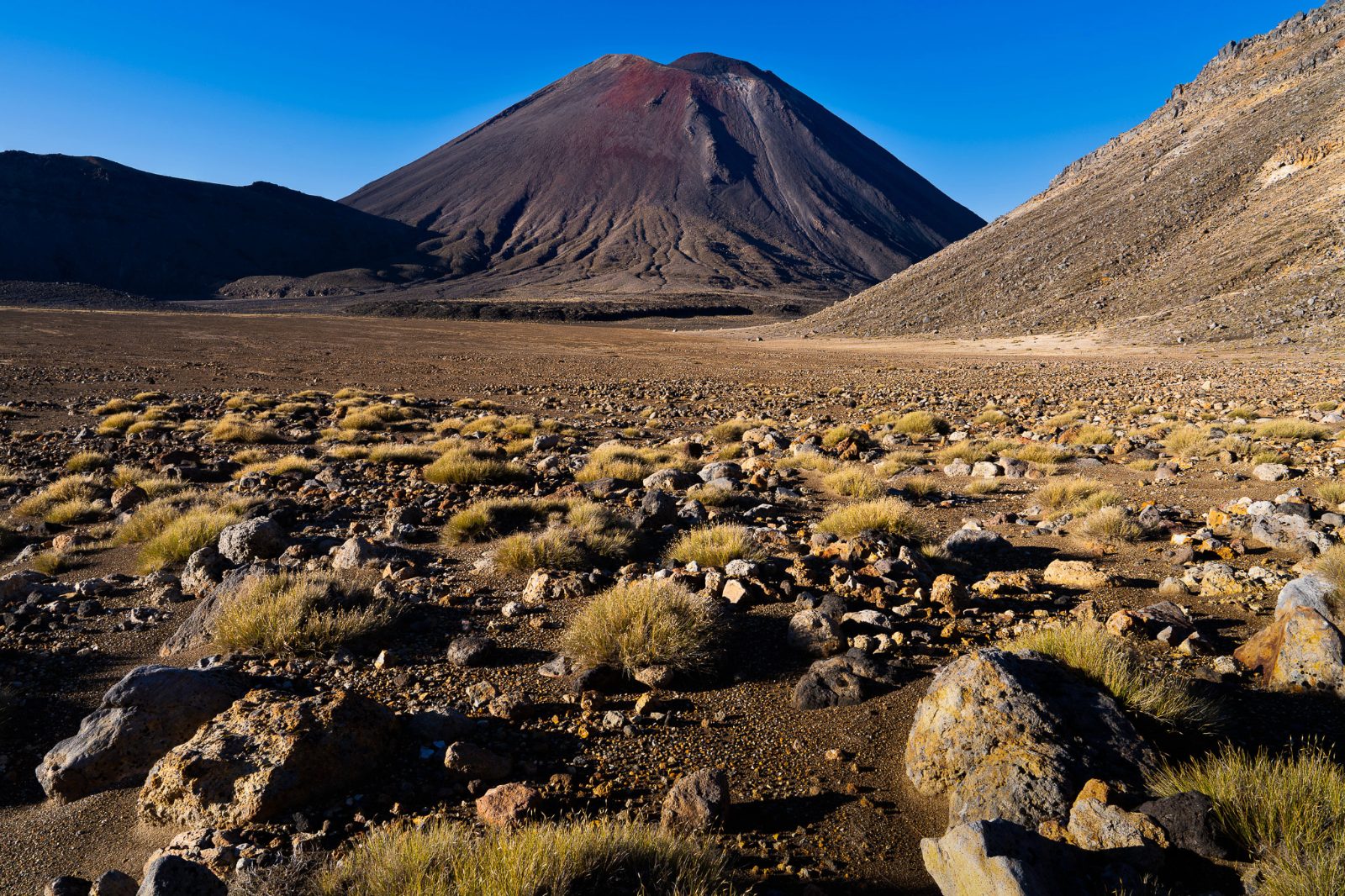
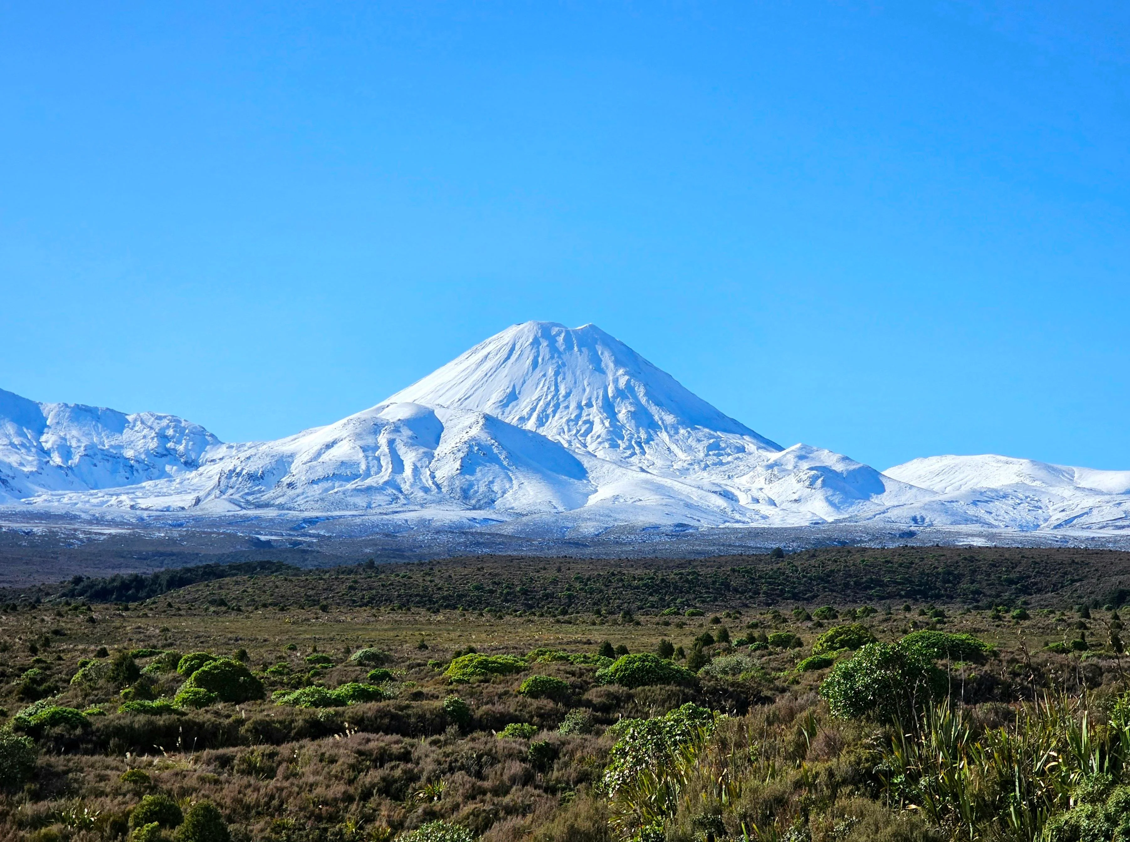
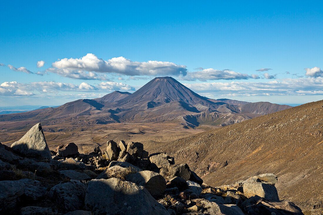
The most iconic volcanic cone in the park sits beside the crossing route and is visible for much of the day walk. It is a major landmark on the alpine skyline and a key visual reference for hikers.
This is the highest point on the crossing, rising to 1,886 m according to DOC. The steep volcanic slopes and red scoria make it one of the route’s most distinctive features.
These crater lakes are known for their vivid mineral colours and are a highlight of the central section of the track. The area is sacred and should be treated with care and distance.
A broad volcanic basin between the main climbs, South Crater gives walkers a flatter section after the early ascent. It is a useful rest point before the push toward Red Crater.
The route passes a geothermal zone on the descent side, where steam and mineral soils remind visitors that this is an active volcanic landscape. The area is fragile, so stay on the marked track.
Flexible, no hidden fees.
The Tongariro Alpine Crossing track itself is free to walk, but shuttle and parking fees may still apply. Most operators offer a refund or reschedule if the crossing is closed because of unsafe weather conditions.
Hand-picked options within walking distance — pick a district for vibe, or a specific hotel for convenience.
Practical base for shuttle pickup, fuel, and last-minute supplies. It is one of the closest towns to the crossing and works well for an early start.
Useful for shuttle departures and alpine-track logistics, especially if you want to stay close to the park entrance. It also reduces the need for a very early drive from a larger city.
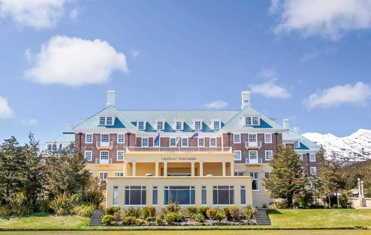
Park-side lodging near DOC services and the visitor centre. This is the most direct base inside Tongariro National Park for crossing planning.
A larger town with more accommodation choice for visitors combining the crossing with a wider North Island trip. It is farther away, but still within a realistic day-trip range.
The 19.4-kilometre track that crosses Tongariro's volcanic saddle has no loop, no return leg and no road at either end that connects the two — which is why the walk cannot be done at all without transport arranged in advance.
The mountains themselves were gifted to the Crown in 1887 by Te Heuheu Tukino IV, paramount chief of Ngāti Tūwharetoa, to prevent their sale and subdivision. That act created New Zealand's first national park and the fourth in the world. In 1990 the park was inscribed as a UNESCO World Heritage Site, and in 1993 it became one of the first properties anywhere to be listed under the cultural criterion of associative landscape — recognition that Ngāuruhoe, Tongariro and Ruapehu are ancestors, not scenery. Tapu rests on the summits. Walkers stay on the formed track.
The route itself is younger than the park. Early crossings were mountaineering approaches; the modern alignment from Mangatepopo Road to Ketetahi Road hardened into a day walk through the twentieth century, and demand for a tongariro alpine crossing shuttle followed the track's rise to national fame. Departure counts now run to the low thousands on peak summer days. The 2007 and 2012 Te Māri eruptions closed the northern section outright and destroyed the Ketetahi hut's use as accommodation — a reminder that the ground here remains live.
Geologically the crossing reads as a cross-section. Mangatepopo Valley holds andesite lava flows barely a few centuries old. The Devil's Staircase climbs 350 metres to South Crater, a flat ash-filled basin ringed by scoria. Red Crater, at 1,886 metres, is the high point: an oxidised vent whose iron-rich walls glow rust and vermilion, with a dyke exposed in cross-section along its rim. Below it the Emerald Lakes take their colour from dissolved thermal minerals leaching out of adjacent vents. Blue Lake — Te Wai-whakaata-o-te-Rangihīroa — is tapu; eating and drinking beside it are not appropriate.
Access is governed by geography rather than gates. Mangatepopo Road and Ketetahi Road both dead-end, and the Department of Conservation caps car park stays at four hours, which effectively rules out self-drive for a walk that takes seven or eight. A tongariro alpine crossing shuttle bus fills that gap, as does the one-way transfer that leaves a vehicle at the exit. Operators run from Turangi, National Park village, Whakapapa and Taupo; the shuttle service is the reason the track functions as a day walk at all. Entry to the park remains free at 0 NZD, with transport and car parking charged separately. Ticket desks and phone lines open at 05:15 daily, closing at 19:00, and tongariro alpine crossing shuttle tickets in January and February routinely sell out weeks ahead.
"The mountains were given away in 1887 so that they could never be sold."
A step-by-step walkthrough of Tongariro Alpine Crossing Shuttle tickets — what you'll see, how long each stage takes, and the details that matter.
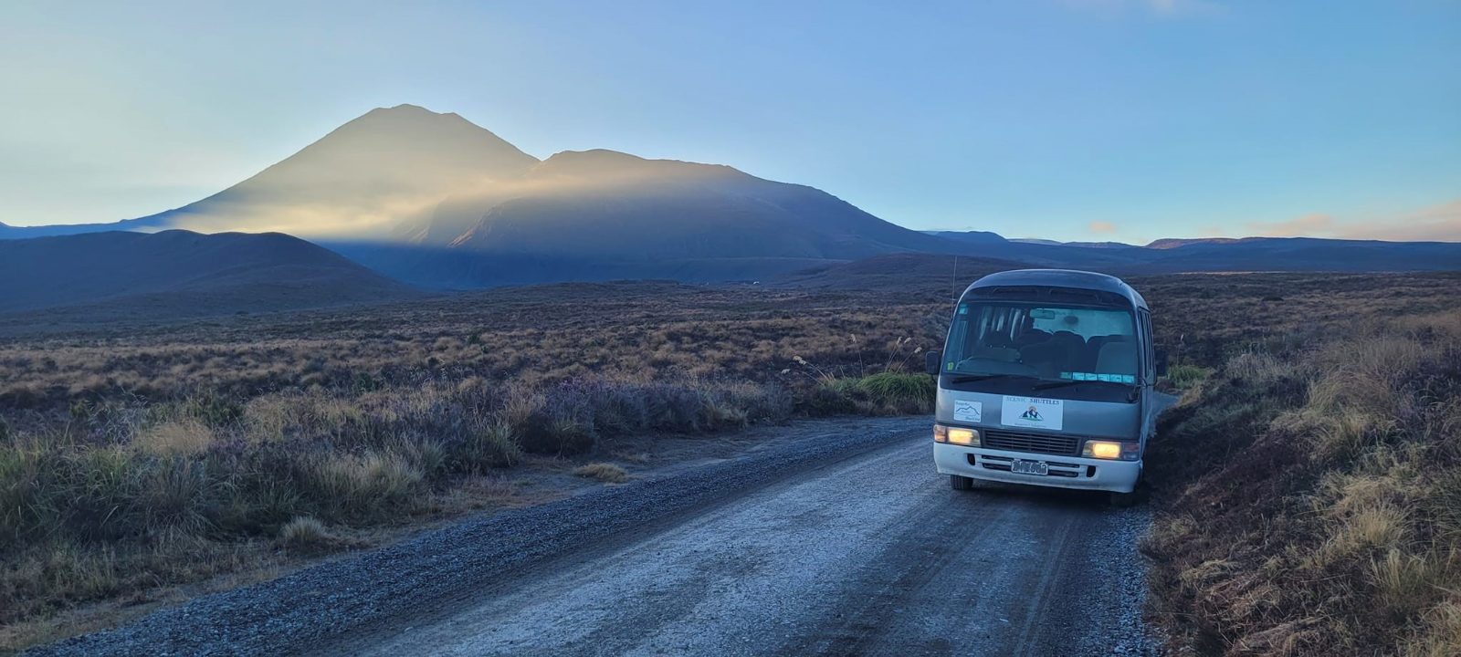
You wake in the dark. The first tongariro alpine crossing shuttle departures begin at 05:15, and the recommended arrival window of 05:15–06:30 exists for a reason: the road to Mangatepopo is single-lane in places, and the queue at the trailhead thins fast once the last coach empties.
Check-in happens at 1310 Lake Rotoaira Road, State Highway 46, Otukou — worth putting into your phone the night before, because reception past Turangi is patchy.
The first hour is deceptively flat. Boardwalk, tussock, the Mangatepopo Stream on your left, Ngāuruhoe's cone sharpening ahead as the light comes up. Then the Devil's Staircase: 350 metres of gain in roughly 45 minutes, scoria underfoot, hands occasionally on rock. You crest into South Crater and the wind hits — it always hits — across a flat grey pan you cross in twenty minutes.
The ridge to Red Crater is the steepest ground of the day. At 1,886 metres you stop, because everyone stops. Below, three Emerald Lakes sit in their sulphur-stained basins, and the descent to them is loose ash that you half-slide through.
From there it is downhill for four hours: Blue Lake, the North Crater rim, then switchbacks into beech forest. Your tongariro alpine crossing shuttle bus waits at Ketetahi Road. Confirm the pickup time before you leave — lines close at 19:00.
The contact site lists opening hours from 05:15 to 19:00 every day. That applies to the Tongariro Alpine Crossing shuttle hub and related operations at the Ketetahi car park contact point. The track itself is free to walk, but transport is not. DOC says the crossing has no entry fee, and the official site explains that shuttle or parking costs are separate from access to the walk. Yes, bookings are recommended for anyone using any part of the Tongariro Alpine Crossing, and shuttle transport must be arranged in advance. DOC also says bookings are needed to use a shuttle or guided walk service. The best arrival window is 05:15–06:30. That lets you beat the first shuttle departures and the morning crowd surge without arriving before opening time. No. Dogs and other pets are not allowed in Tongariro National Park, including inside vehicles, so they cannot be part of a Tongariro Alpine Crossing shuttle day. Wear warm, windproof, and waterproof layers with broken-in hiking boots. The route is alpine, exposed, and changeable, so summer clothing alone is not enough. Yes, bring your own food and plenty of water. There are toilets at key points, but no practical food service or water refill network for hikers on the full crossing. No. The Tongariro Alpine Crossing is a difficult alpine day walk with steep terrain and long descents, so it is not a wheelchair-accessible outing. Yes, children can join, but they must also be booked for car park or shuttle services. Be realistic about age and fitness, because the crossing is long and demanding for younger walkers. Most operators refund or reschedule when the crossing closes because of unsafe weather, and the official FAQ says bookings are handled that way. Check with your operator on the day if DOC issues a safety warning. Good combinations include Whakapapa Village, Taranaki Falls Walking Track, and Tama Lakes Track. DOC lists those as useful nearby alternatives or bases when you are planning the day.
Please contact us for more information.